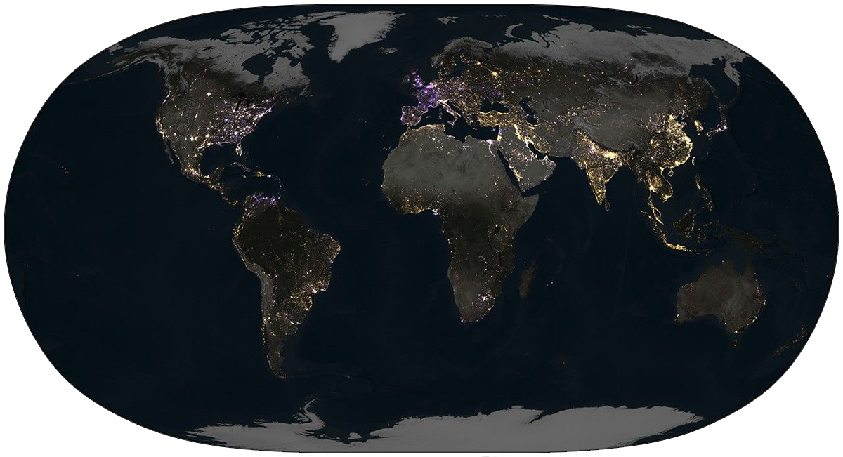
When you go to sleep at night, NASA is watching. High above the Earth, satellites monitor artificial light sources gleaming in the dark as part of NASA’s Black Marble project. By combining observations from three satellites and correcting for factors like cloud cover, terrain, and the faint glow of atmospheric gases, NASA can produce remarkably detailed maps like the one below.
This map, which tracks the change in brightness from 2014 to 2022 in the most populated band of the planet (between 60 degrees south and 70 degrees north latitude), doesn’t show the overall incremental brightening of the globe you might expect. A study, published in Nature in April, parsed the human activity behind these changes in luminosity, and another visualization of the Black Marble data (seen below) graced its cover.
According to the study, global radiance increased by around 34 percent during those years, but the map reveals the gains were uneven. Some areas, especially China and India, have brightened considerably, reflecting booming urban development. Others, like the East Coast of the United States and much of Europe have dimmed, likely due to energy conservation measures, including the adoption of lower light LED bulbs. Additionally, the European energy crisis sparked by the Russo-Ukrainian war darkened lights in the area considerably in 2022.
Altogether, it’s a stunning picture of human activity, capturing both the light and dark side of our nature. 
Enjoying Nautilus? Subscribe to our free newsletter.
Lead image: NASA Earth Observatory/Michala Garrison