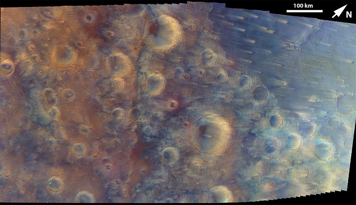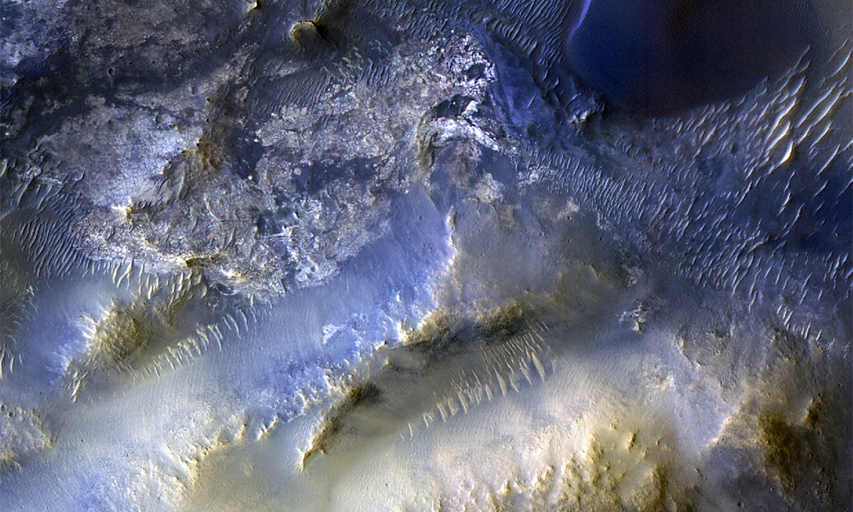
You’re looking at a dark, volcanic stretch of Mars, known as Syrtis Major, that spans some 800 miles in diameter. This image was captured with color filters to highlight the gritty details of these sand dunes and plains, some of the oldest ever discovered on the Red Planet. Syrtis Major is the Greek name for the Gulf of Sirte on the north African coast, which also has a triangle-like shape, and it translates to “the great sand bank.”
This is the 100,000th image taken by the HiRISE camera, or High-Resolution Imaging Science Experiment, aboard NASA’s Mars Reconnaissance Orbiter. It was shot in October and released last month. Such a specific view will help pinpoint the origins of the sand that’s whipped around by wind and built up into dunes, which may emerge in part from the area’s dark, weathered basalt rocks.
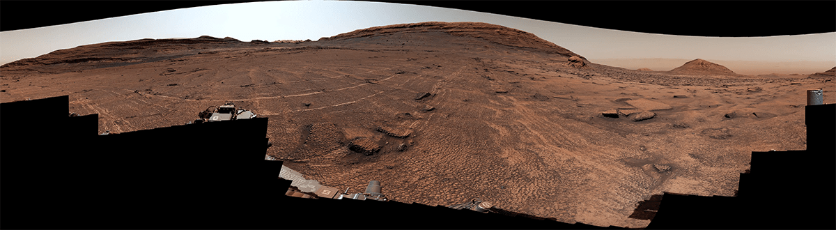
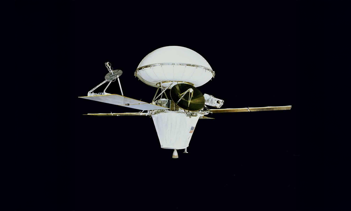
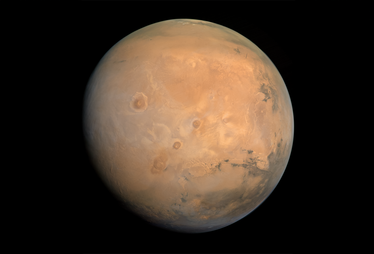
NASA's Mars Reconnaissance Orbiter launched in 2005 to hunt for hints that water once flowed for long enough on the Red Planet to sustain life—a mystery that remains unsolved. Over the past two decades, HiRISE has offered detailed peeks at hundreds of spots on the Martian surface. In fact, the sophisticated camera can pick up on surface features as small as a kitchen table.
Read more: “The Moss That Could Terraform Mars”
All of which has yielded crisp views of many different Martian scenes, including the remnants of gaseous eruptions and impact craters. These images enable scientists to trace how the surface transforms over time and seek out possible landing spots and ice deposits to aid future human missions.
HiRISE snapped this specific site thanks to a recommendation from a Colorado high school student—anyone can propose a spot on Mars for the team to check out on this website. “One hundred thousand images just like this one have made Mars more familiar and accessible for everyone,” said Shane Byrne, HiRISE principal investigator, in a statement.
Now, you can help the HiRISE team decide where to point its powerful camera and help illuminate Mars’ past—and future. 
Enjoying Nautilus? Subscribe to our free newsletter.
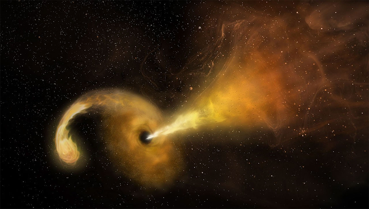
Lead image: NASA/JPL-Caltech/University of Arizona