Despite lingering Flat Earth conspiracy theories, humans have gathered evidence of our planet’s spherical nature for millennia. In the third century B.C., Greek mathematician Eratosthenes calculated the Earth’s circumference to be around 24,000 to 29,000 miles. He was much closer to the mark, now known as 24,901 miles, than previous estimates in preceding centuries by the ancient scholars Plato and Archimedes. Eratosthenes arrived at this guess by comparing the sun’s relative position at two points on the planet’s surface.
Despite these early strides, it took more than 2,000 years to generate clear visual evidence of the Earth’s curves. It wasn’t until aerial photography and aviation came onto the scene that we could capture this world-defining phenomenon.
On today’s date in 1930, scientists glimpsed the first of such photos at a convention co-hosted by the American Association for the Advancement of Science. Captain Albert Stevens, U.S. Army Air Corps officer and pioneering aerial photographer, snapped the paradigm-shifting shot as he flew at an altitude of 21,000 feet over Argentina.
Read more: “Why Do People Believe the Earth Is Flat?”
In the foreground of that image, you can see faint traces of the Andes Mountains, located around 300 miles in the distance. These features are “well below the expected horizon if the Earth were flat,” according to NASA. The image also subtly displays the Earth’s curvature, “although the effect is subtle as the image encompasses only 1/360 of the Earth’s circumference.” The photo ran in the May 1931 issue of National Geographic.
Then, in 1935, Stevens took another photograph that clearly illuminated our world’s outlines—this image, taken from a balloon at a record altitude of 72,395 feet, was the first to display the division between the troposphere and the stratosphere, the lowest two layers of the atmosphere. The photo also includes the Black Hills of South Dakota and the Bighorn Mountains of Montana and Wyoming. It appeared in National Geographic in May 1936.
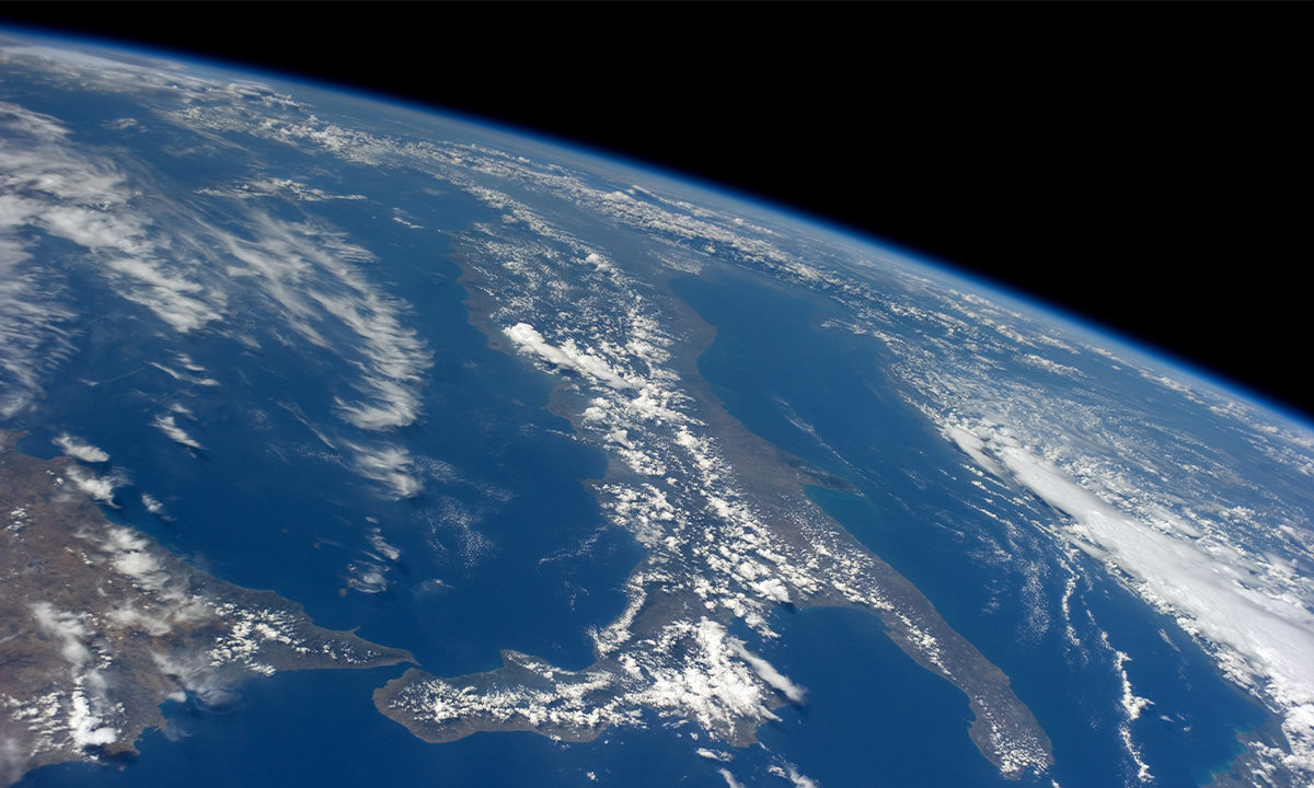
Over the following decades, advances in spaceflight gave us new views of Earth from the cosmos, allowing enough distance to get a good look at the entirety of our pale blue dot. These included the first image of Earth from a weather satellite, which was captured in 1960. Only 30 years later could we truly appreciate how tiny our world appears from a distance, thanks to NASA’s Voyager 1 probe.
“With sounding rockets and then spacecraft returning photographs from ever-greater distances from the planet, we could begin to see the Earth first as a full disk, then as a smaller and smaller blue oasis against the emptiness of space,” NASA wrote. “Through these images, we gained a better understanding of Earth’s, and therefore of our own, place in the universe.” 
Enjoying Nautilus? Subscribe to our free newsletter.
Lead image: NASA